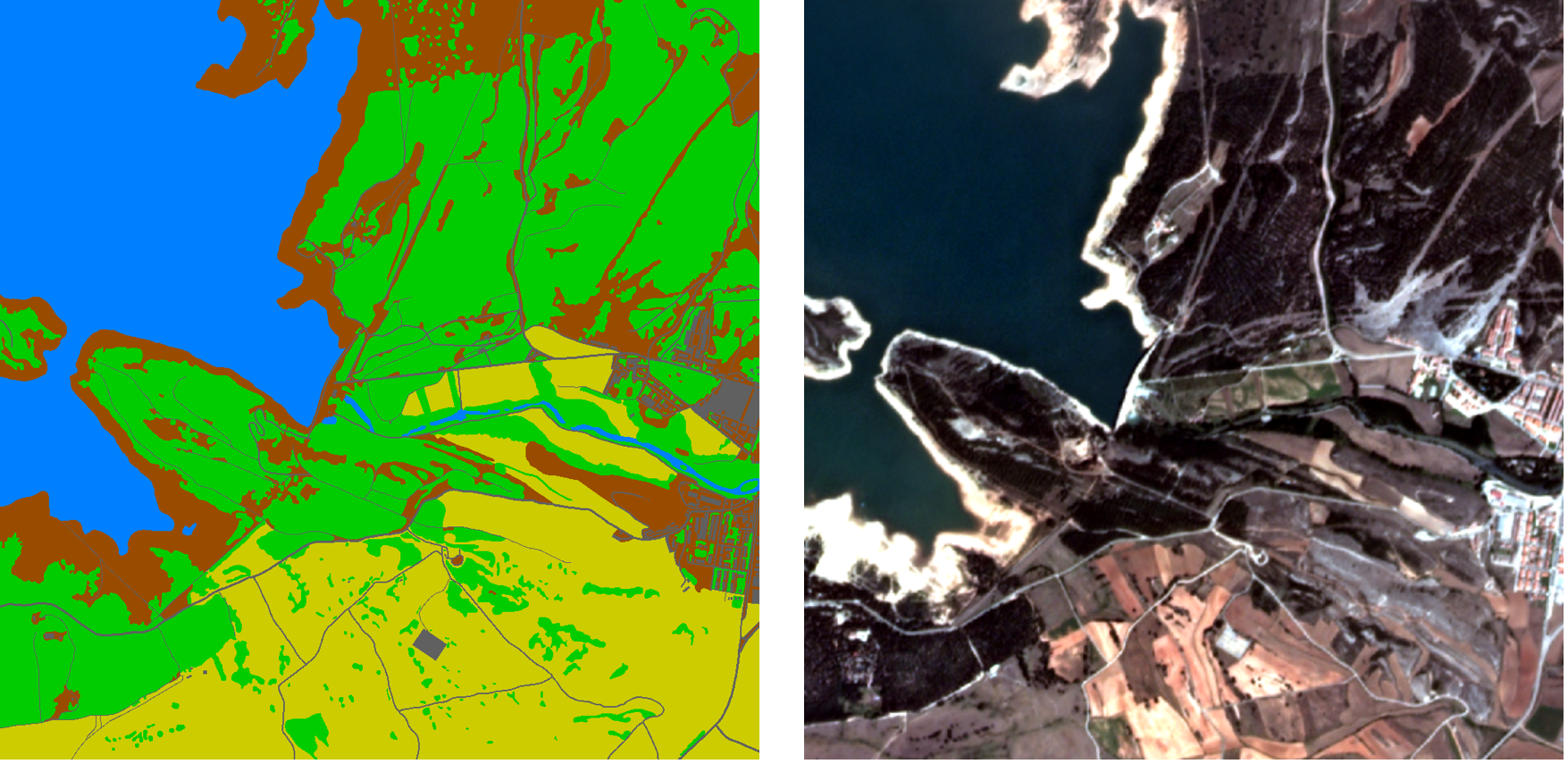
Satellite imagery contains significant clues for observing and perceiving the earth’s surface on a global scale. In recent times, deep learning techniques play an important role for automatically analyzing such data. Relevant applications cover geo-localization, time-series satellite imagery understanding, classification, and segmentation. Research papers and methods devised for this kind of data are subject to unique challenges compared to standard computer vision tasks/benchmarks. In this seminar, we provide an overview of common deep learning techniques, datasets and central works that employ satellite imagery.
Date: Thursdays (10:00-11:00)
Location: Virtual event. Zoom link and password will be shared via email.
Lecturers: Prof. Dr. Laura Leal-Taixé and Aysim Toker.
ECTS: 5
SWS: 2
Prerequisites
- Introduction to Deep Learning (I2DL) (IN2346)
Course matching
Students are supposed to register to the Matching-System between July 22nd and 27th. See the Matching-System FAQ for more details.
After the final matching is announced on August 5th, we will send an email with further information.
Papers
- Where Am I Looking At? Joint Location and Orientation Estimation by Cross-View Matching. Shi, Yujiao, et al. (CVPR 2020).
- VIGOR: Cross-View Image Geo-Localization Beyond One-to-One Retrieval. Zhu, Sijie, et al. (CVPR 2021).
- TransGeo: Transformer Is All You Need for Cross-View Image Geo-Localization. Zhu, Sijie, et al. (CVPR 2022).
- Cross-view Geo-localization with Layer-to-Layer Transformer. Yang, Hongji, et al. (NeurIPS 2021).
- Video Geo-Localization Employing Geo-Temporal Feature Learning and GPS Trajectory Smoothing. Regmi, Krishna, et al. (ICCV 2021).
- Foreground-Aware Relation Network for Geospatial Object Segmentation in High Spatial Resolution Remote Sensing Imagery. Zheng, Zhuo, et al. (CVPR 2020).
- PointFlow: Flowing Semantics Through Points for Aerial Image Segmentation. Li, Xiangtai, et al. (CVPR 2021).
- Sparse and Complete Latent Organization for Geospatial Semantic Segmentation. Yang, Fengyu, and Chenyang Ma. (CVPR 2022).
- Revisiting Near/Remote Sensing with Geospatial Attention. Workman, Scott, et al. (CVPR 2022).
- Geometry-Aware Satellite-to-Ground Image Synthesis for Urban Areas. Lu, Xiaohu, et al. (CVPR 2020).
- Cross-View Image Synthesis using Conditional GANs. Regmi, Krishna, and Ali Borji. (CVPR 2018).
- The Multi-Temporal Urban Development SpaceNet Dataset. Van Etten, Adam, et al. (CVPR 2021).
- Panoptic Segmentation of Satellite Image Time Series with Convolutional Temporal Attention Networks. Garnot, Vivien Sainte Fare, and Loic Landrieu. (ICCV 2021).
After being matched to the seminar, please send a list of your 3 favourite papers to aysim.toker@tum.de. Topics are assigned on a first-come-first-serve basis.
Schedule
TBD

